How it Works
Detect, Analyse, Anticipate – turning data into knowledge
Developed with Crisis Group’s country analysts and refined through extensive user testing, the Early Action & Risk Tracking Hub (eEARTH) platform provides practical tools to inform decision-makers navigating today’s complex risk environment.
Detect Risks
eEARTH continuously tracks and synthesizes key risk indicators, cutting through information overload to reveal what matters. It tracks how climate change triggers resource shortages and reveals growing risks before they become full-fledged conflicts. This allows policymakers to focus their attention on the regions and issues that need it most.
Analyse Risks
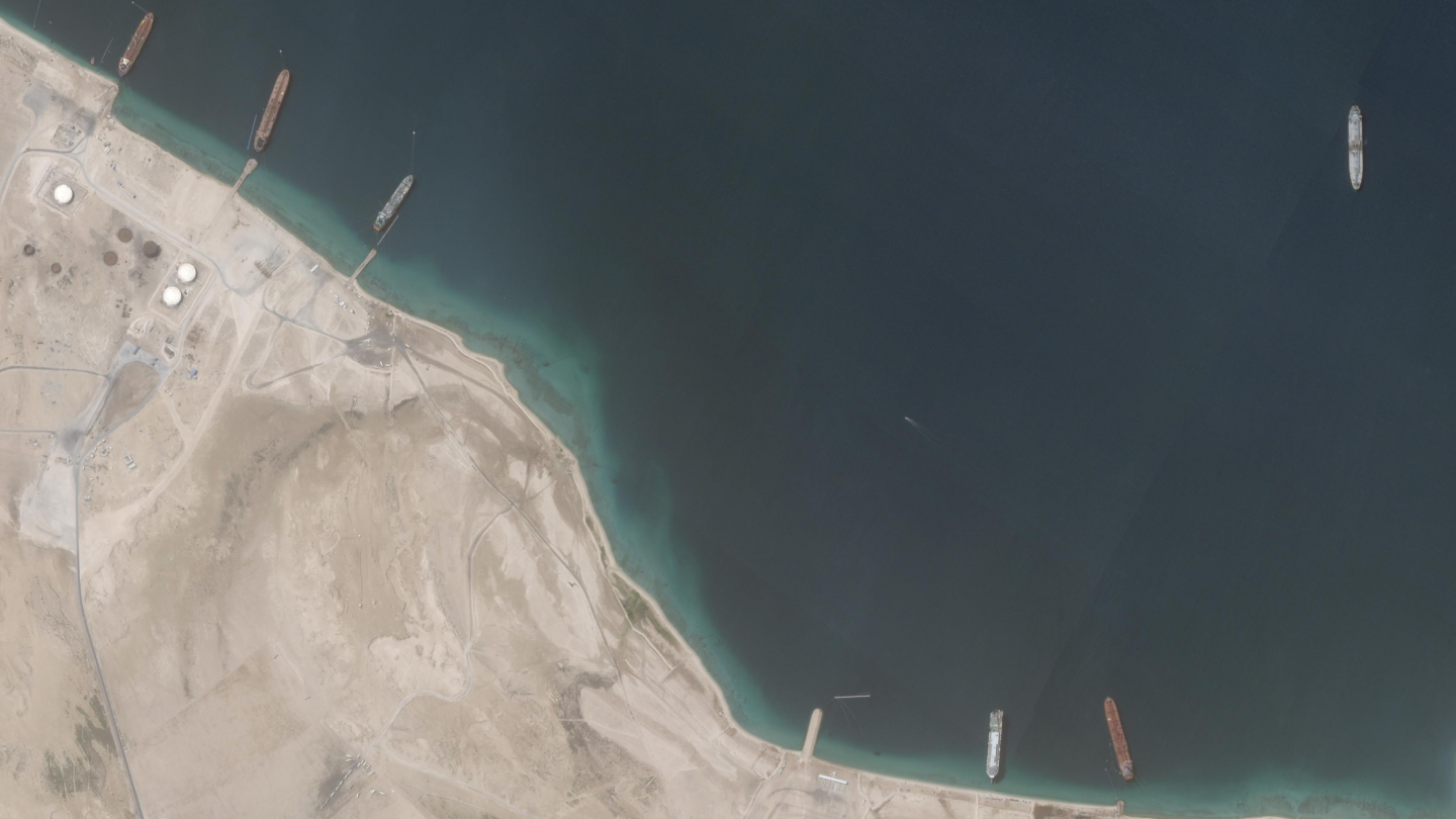
Our dashboard balances analytical rigour with usability. Satellite and sensor data track environmental and resource pressures, while Crisis Group’s peerless regional expertise explains why these patterns matter politically. Users aren’t just alerted to incipient risks but learn about the human dynamics driving them.
Anticipate Risks
Regular updates and predictive indicators enable governments, UN agencies, humanitarian and development organisations, and private entities to act before crises escalate. By supporting scenario planning and stress testing, eEARTH helps decision-makers identify interventions that could prevent violence.
Frequently Asked Questions
Q1. How is eEARTH different from other early warning systems?
Most early warning platforms analyse risks in isolation or update too slowly for operational use. By contrast, eEARTH integrates climate, food, and conflict analytics with political analysis to capture emerging dynamics. The combination of satellite monitoring and Crisis Group’s regional expertise produces warnings that are technically rigorous and attuned to political realities.
Q2. How often is the data updated?
Most datasets refresh monthly. We’re working toward daily updates, with near real-time monitoring as our ultimate goal. Please see the Data Catalogue for more detail.
Q3. How reliable is the data?
eEARTH combines satellite imagery, climate datasets, and conflict reporting from organisations like the National Aeronautics and Space Administration (NASA), the European Space Agency (ESA), Climate Hazards Group InfraRed Precipitation with Station (CHIRPS), and Armed Conflict Location & Event Data Project (ACLED). Crisis Group analysts help us interpret the data, providing insight into how conflicts over resources are playing out on the ground. We are also upfront in acknowledging the limitations of our data; in cases where we have quality concerns about the information we’re receiving, we won’t publish. This approach balances comprehensive coverage with honest acknowledgment of uncertainty.
Q4. Does eEARTH predict conflict?
eEARTH doesn’t predict specific violent events. Instead, it identifies when risk factors are converging. So, for example, when we see flooding in South Sudan, and cattle herders relocating in response, we develop scenarios of how this migration might rekindle dormant conflicts. By providing this information to decision-makers in a timely way, we help them take action that can defuse burgeoning tensions before they devolve into full blown conflicts.
Q5. Can I access the raw data?
Yes. The Data Catalogue lists all of our sources with direct links to providers like NASA, ESA,CHIRPS, and ACLED. Users can export data from eEARTH or access original datasets directly from source agencies. Note that while the underlying data is open access, eEARTH’s risk ratings and synthesized analytics are Crisis Group’s intellectual property.
Q6. What are the limits of the system?
eEARTH identifies patterns and probabilities, not certainties. The platform highlights where conditions are deteriorating, but satellite imagery cannot reveal intentions or motives. In some cases we have analysts who contextualise that data in our written reports, but we aren’t present in every corner of the globe.
Q7. Who is the platform for?
eEARTH is for professionals who need to understand resource dynamics before they devolve into violence. It can be a powerful tool for embassy staff tracking regional stability, humanitarian coordinators pre-positioning supplies, development managers protecting investments in fragile areas, and journalists verifying claims about humanitarian conditions.
How to Cite eEARTH
We encourage people to tap and disseminate data, figures, and analysis from eEARTH, provided that it is properly attributed. Please cite as follows, including the year and month when the information was accessed:
- Ulrich Eberle, Carolin Graf and David Kimotho. eEARTH.io – The Early Action & Risk Tracking Hub. International Crisis Group. Accessed [current date]. https://eearth.io
Because eEARTH is a living data platform that is updated regularly, always indicate the date of access.
When using eEARTH data in visualisations, graphics, or maps, please include a clear source line with a link to eearth.io. For example:
- Source: eEARTH.io – The Early Action & Risk Tracking Hub. International Crisis Group. Accessed [current date]. https://eearth.io
Please note: eEARTH integrates data from multiple third-party providers. When using this data, users are responsible for ensuring that any third-party attribution policies are also followed, in addition to citing eEARTH.
For any inquiries or to report an error, please write to us at eearth@crisisgroup.org
Photo Credit: Planet Labs PBC
